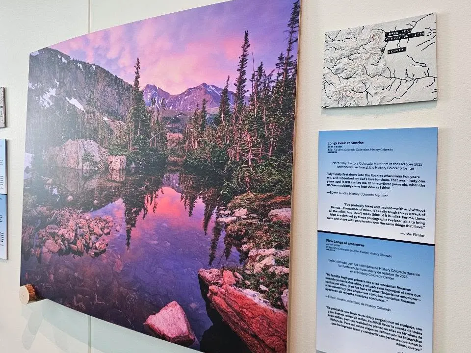
My Colorado 3D Topographic Maps are used as supporting locator maps at the Mountains Majesty: On the Summit with John Fielder exhibit at the History Colorado Center in Denver, Colorado. These maps were printed in multiple colors presenting a light base map and dark rivers. Labels were placed on...

My maps and models continue to be available Printables. You will find my latest uploads and updates on Printables but not on MakerWorld. The 3D map of China got reported on MakerWorld so the account got banned and models delisted. You will find my models previously available on MakerWorld on...
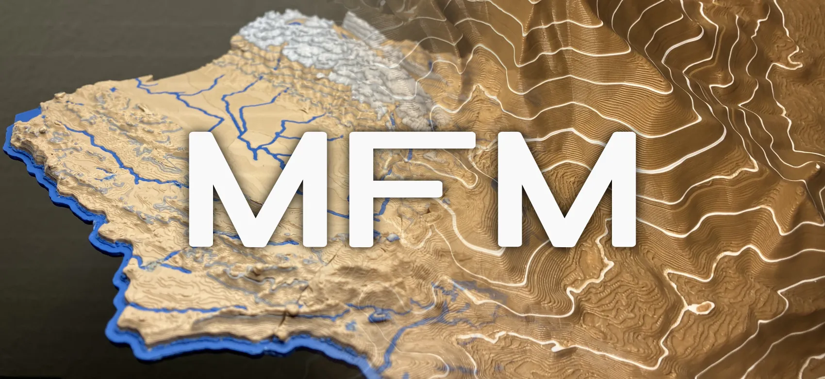
You can add elevation contour lines and color changes to your 3D printed maps with a new script that I created. The Map Feature Modifier (MFM) script is compatible with Prusaslicer, OrcaSlicer, and Bambu Studio. It is also open source and free to use! Download it here. Elevation Contour...